Ask most people around Caldwell about Lake Somerville and they'll tell you about the 13-mile Trailway that links Birch Creek and Nails Creek, the two units on opposite sides of the lake. It's the kind of fact that gets repeated at trailheads and in Facebook groups until everyone assumes it's still true in full. Right now it isn't. Two bridges on that connector have been out since a flood in May 2024, and as of this writing the crossing between units still doesn't exist on foot, bike, or horse.
That gap changes how you should plan a trip out there this season, whether you're chasing a long ride, a multi-day backpack, or just an afternoon at the water.
Two Units, One Name, Two Different Trips
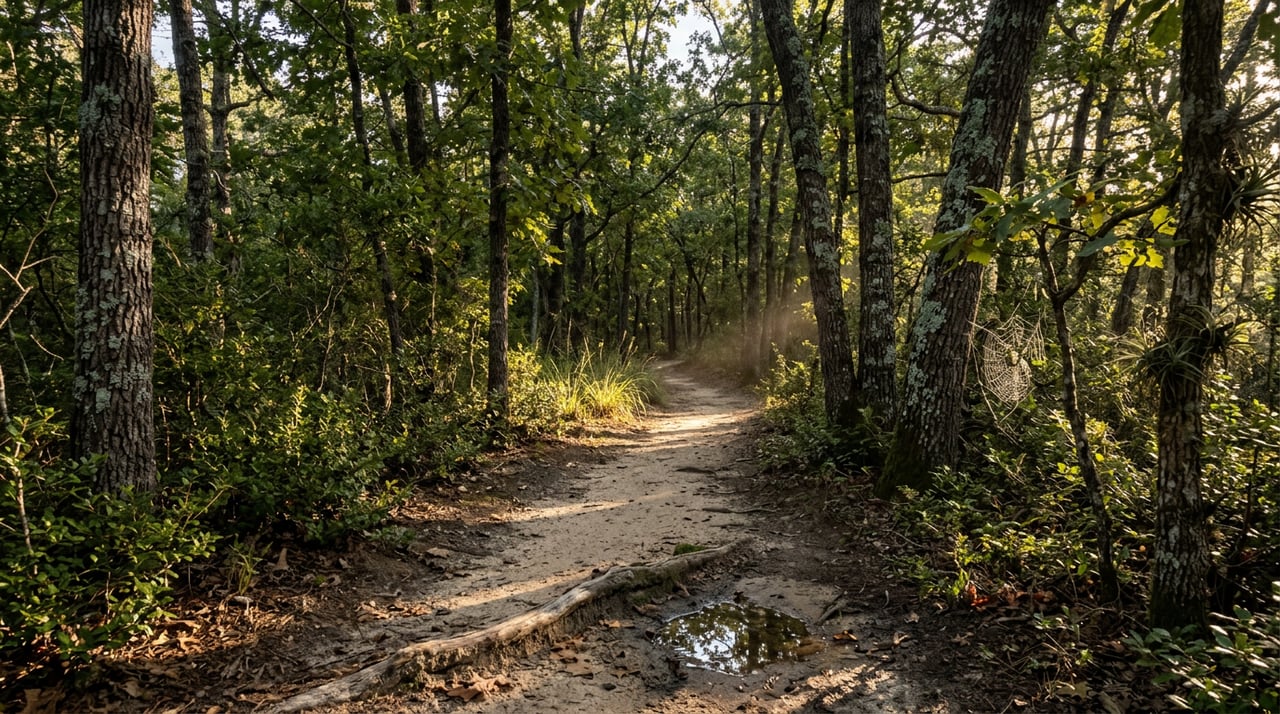
Lake Somerville State Park & Trailway is really two separate access points that share a name. Birch Creek Unit sits on the north side of the lake. Nails Creek Unit sits on the southwest side. Between them runs a network Texas Parks and Wildlife describes as roughly 26 miles of interconnected trails and loops, with the headline Lake Somerville Trailway itself measuring 13.11 miles point to point. The terrain along the way moves through yaupon thickets, post oak, hickory, blackjack oak, and water oak forest, with scenic overlooks and water crossings built into the route.
That's the version of the park most people carry in their head. It's the version where you park at one unit, ride or hike the full Trailway, and end up at the other.
The Bridges That Never Got Rebuilt
Here's what's changed. Two bridges on the Trailway washed out in a flood on May 1, 2024, one over Nails Creek and one over Yegua Creek near the Newman Bottom parking area. Texas Parks and Wildlife's own alert page for the park still lists that closure today, and the department's magazine has confirmed that funding is in place to rebuild the bridges, though no completion date has been published.
What that means in practice: if you start at Nails Creek planning to ride all the way to Birch Creek, you'll get about two miles out before the Trailway ends at the washed-out crossing. Riders coming from the Birch Creek side hit the same wall from the other direction near Newman Bottom. The Trailway is currently two separate out-and-back trail systems wearing one name, not a single through-route.
If you're the kind of rider who's done the crossing before and wants to check current status before loading up the truck, the park's alert page is worth a look before you leave the driveway.
What Each Side Actually Offers Right Now
Since the full crossing isn't available, it's worth thinking about the two units as separate destinations with their own character.
| Unit | Side of Lake | What You Can Do Now | Worth Seeking Out |
|---|---|---|---|
| Birch Creek | North shore | Swim beach, unit trails, camping loops | Bluestem Bend and Eagle Point overlook off the Yaupon Trail; Post Oak Camping Area, where sites 44 and 45 are known for sunset views |
| Nails Creek | Southwest shore | Boat ramp, fishing pond, equestrian trails and camping | Rocky Point Trail and Overlook Trail Loop; the Nails Creek Loop near the main parking lot |
Both units still offer access to their own trail systems, camping, and water access, though some loops close seasonally. The primitive campsites along the Trailway itself remain reachable from their nearest unit too. Wolf Pond sits about four miles from Birch Creek, and Flag Pond sits about four miles from Nails Creek. Neither requires crossing the washed-out bridges to reach.
The Other Closure That Has Nothing to Do With Flooding
There's a second wrinkle worth building into your plans, and it's seasonal rather than storm-related. Flag Pond Loop and Waldo's Loop close from sunrise to noon daily during Early Teal season, the Regular North Zone Duck season, and Youth-Only Waterfowl season. That stacks up to a good chunk of fall and winter mornings when those two loops are off limits until noon. Afternoons stay open the whole time. Park headquarters at either unit can confirm exact dates for the current season if you're planning a morning trip.
Small Reasons to Go Anyway
None of this makes the park less worth visiting. It just means the trip looks different than the map suggests.
Flag Pond has a tree worth knowing about on its own: a state champion water elm grows there, its branches stretching out over the water on the park's western edge. Yaupon holly grows throughout the park too, including along Birch Creek's short Yaupon Trail, and it happens to be one of only two plants in the U.S. that contain caffeine. Native people once brewed tea from its leaves. Texas Parks and Wildlife has also photographed a bald eagle perched in the park's oak canopy, so it's worth keeping an eye up as you move through the trees. Come March and April, the day-use area fills with bluebonnets that mirror the water, a detail worth marking on next spring's calendar even if it's months off from where we are now.
Before You Head Out
A short list to run through before you load the truck:
- Check the park's alert page for current bridge, pavilion, and boat ramp status before you drive out, since conditions have shifted more than once since the 2024 flood.
- If you're riding a horse, bring a current negative Coggins test and use the equestrian parking at the access gate on CR 125 or CR 140.
- Both units charge a daily per-person entrance fee, so bring a way to pay at the gate.
- Carry roughly a quart of water per hour on the trail. The terrain is gentle, but Central Texas heat doesn't care about elevation gain.
- If you're planning a fall or winter morning ride on Flag Pond Loop or Waldo's Loop, call ahead to confirm whether that week falls inside a hunting season closure.
Knowing the Land Includes Knowing Its Trails
Part of paying attention to a place like Caldwell means noticing when the things everyone assumes are still true have quietly changed. The Trailway is a good example. It's still one of the better reasons to live within a short drive of Lake Somerville, but it's a different trip than the one people describe from a few years back, and it will stay that way until those two bridges go back up.
We spend a lot of our time at Ranch House Real Estate walking properties near creeks, ponds, and public land like this, because understanding how the water and the trails actually behave is part of understanding the land itself. If you're curious what that looks like for a specific piece of ground near Caldwell, let's grab a coffee and tour some land.
This article is general information, not legal, tax or financial advice. Consult a qualified professional about your situation.